
This week, the UK is bracing for heavy snowfall and a prolonged cold spell, as the Met Office forecasts a significant drop in temperatures across the country.
An early morning yellow warning has been issued, covering London and South East England from 4 am to 10 am. Both regions are expected to experience a combination of sleet and snow showers moving in from the east, resulting in temperatures nearing zero degrees Celsius.
Motorists are being advised to exercise caution on the roads due to anticipated icy conditions, particularly in Greater London, Kent, Surrey, and Sussex.
The Met Office has indicated the potential for snow showers to intensify in certain areas. Some locations, notably over the north Downs and on grassy surfaces, may see snow accumulation ranging from 1 to 3 centimeters.
Amid these weather conditions, the UK Health Security Agency has issued a cold weather alert encompassing the entirety of England, effective until Friday.
This anticipated cold snap is expected to persist throughout the week, coinciding with ongoing efforts in certain regions to manage the aftermath of recent flooding triggered by intense rainfall.
 Anticipated Snowfall Across England and Wales Prompts Yellow Weather Warning
  Live Updates: UK Braces for Snowfall and 85mph Winds as Norwegian Weather System Approaches
  Met Office Issues Uncommon Amber Snow Warning Amidst Near Record-Low Temperatures in the UK
  Met Office Alerts UK to Subzero Freeze and Continued Snowfall Amid Flood Concerns
  UK Weather Update: More Snow Forecast as Country Braces for -9C Cold Snap; Extensive Flood Alerts Remain
 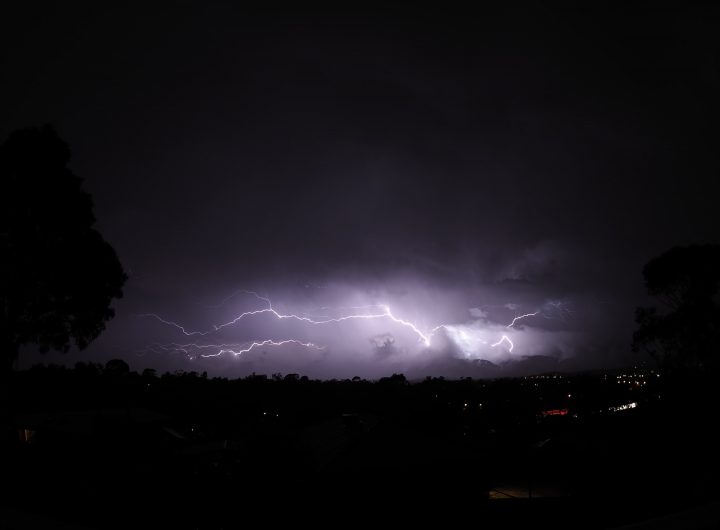 Travel Disruptions Persist as ‘Supercell Thunderstorm’ Hits During Storm Gerrit’s Latest Updates
  Banking Sector Evolves as AI Drives Productivity and Goldman Sachs Expands UK Footprint
  Kia Bucks the Trend: A First Look at the New K4
 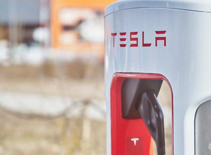 Tesla’s European fortunes take a hit as Chinese rivals gain ground
  iPhone’s yellow battery mystery solved as Apple mandates shift to iOS 26